GPS-Based Toll System: Transforming Road Travel in India

GPS-Based Toll Plaza: The central government has approved a GPS-based toll system that eliminates the need to stop at toll plazas, making your journey smoother and more convenient.
On Tuesday, the Ministry of Road Transport and Highways revised the National Highway Fee (Determination and Collection of Rates) Rules, 2008, to incorporate electronic toll collection via a satellite-based system. This new system will use GPS to collect tolls from vehicles based on the distance traveled.
Similar to Fastag, the new system will calculate tolls according to the distance covered by the vehicle. Under the updated rules, tolls can now be collected through GPS and Onboard Units (OBUs), in addition to Fastag and Automatic Number Plate Recognition (ANPR) technology. Vehicles equipped with Global Navigation Satellite System (GNSS) OBUs will be able to pay tolls automatically without stopping for manual payment.
This change is part of the broader initiative to modernize toll collection on national highways using advanced technology. The ministry has clarified that vehicles not registered in India or lacking a functional GNSS will still be charged standard toll rates. Additionally, a zero-toll corridor of up to 20 km will be introduced for vehicles equipped with the GNSS system, after which tolls will be based on the distance traveled.
What are the next steps?
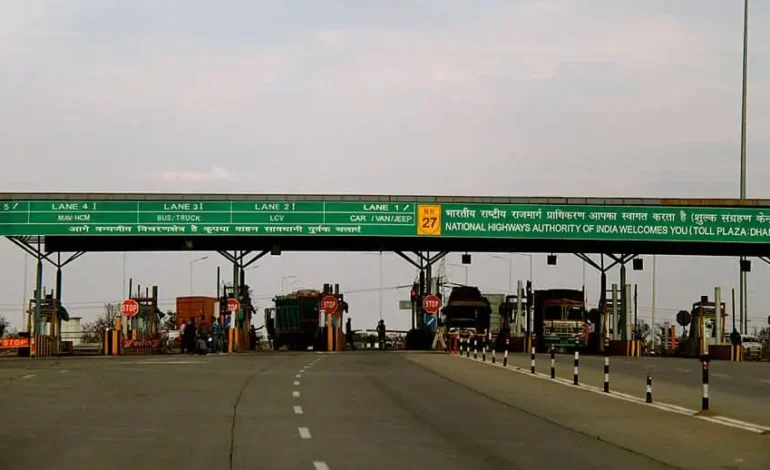
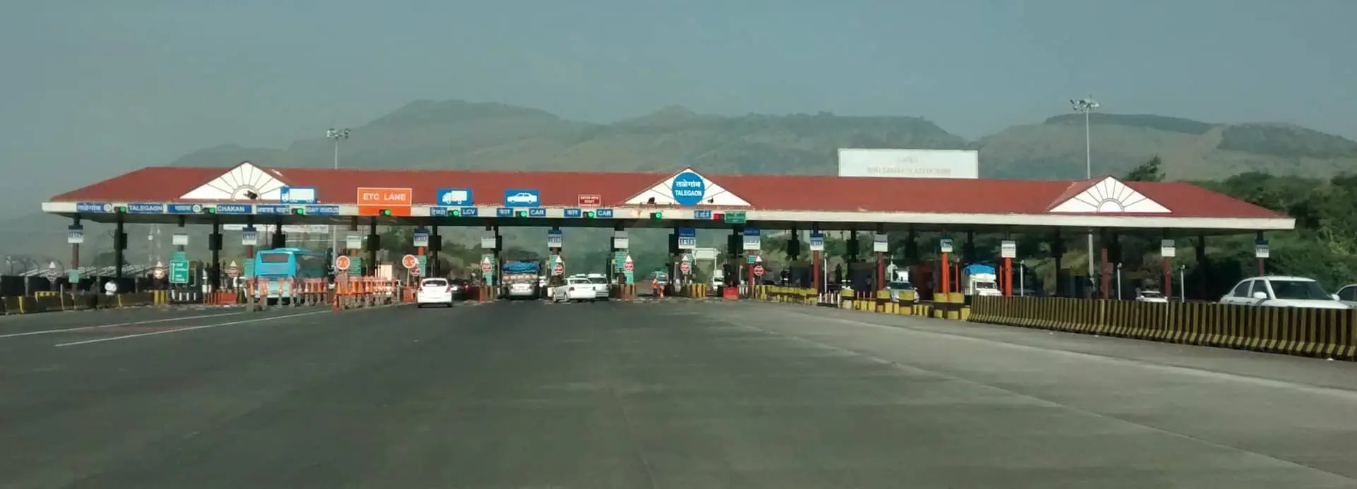
Currently, tolls are paid at toll plazas using cash or Fastag, often causing traffic jams. The new GPS-based toll system utilizes satellite and in-car tracking technology to charge tolls based on the distance traveled, eliminating the need for physical toll plazas and reducing driver wait times.
Vehicles equipped with an on-board unit (OBU) or tracking device will be billed according to their highway travel distance. Digital image processing records highway coordinates, while CCTV cameras on gantries verify vehicle positions, enabling smooth and efficient toll collection.
How does it differ from FASTag?
Unlike FASTag, the satellite-based toll system uses GNSS technology to pinpoint precise locations. It leverages GPS and India’s GPS Aided GEO Augmented Navigation (GAGAN) system for more accurate distance-based toll calculation.
How will the new system function?
To implement this system, Onboard Units (OBUs) will be installed in vehicles. These OBUs will function as tracking devices, continuously transmitting the vehicle’s location to satellites. The satellites will use this data to calculate the distance traveled, with GPS and GNSS technology ensuring accurate measurements. Additionally, cameras installed along the highway will verify the vehicle’s location.
Initially, the system will be rolled out on selected highways and expressways. Like FASTag, OBUs can be purchased through the government portal and must be installed externally on vehicles. In the future, vehicle manufacturers may offer vehicles with OBUs already installed.


